Front Description
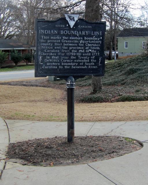
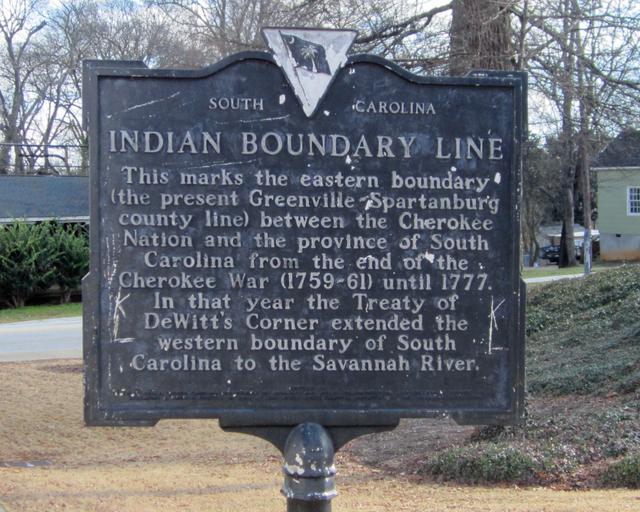
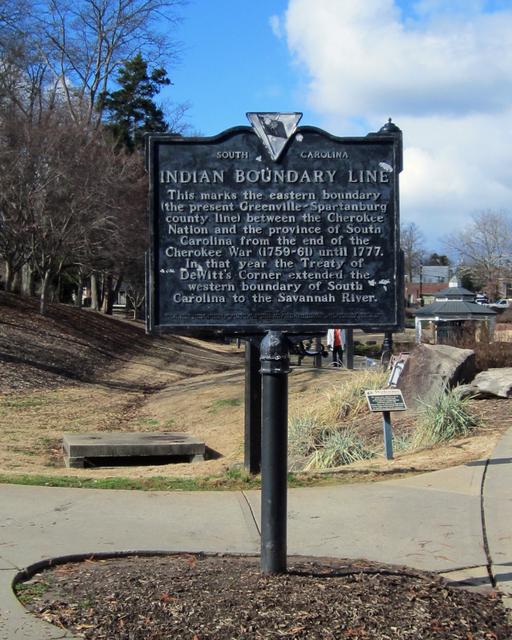
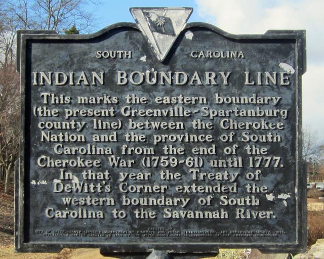
This marks the eastern boundary (present Greenville-Spartanburg county line) between the Cherokee Nation and the Province of South Carolina from the end of the Cherokee War (1759-61) until 1777. In that year the treaty of DeWitt’s Corner extended the western boundary of South Carolina to the Savannah River.
Site Photos