Front Description
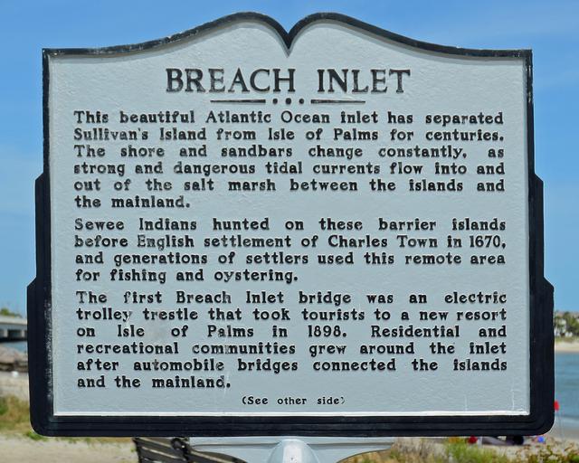
Breach Inlet
This beautiful Atlantic Ocean Inlet has separated Sullivan’s Island from Isle of Palms for centuries. The shore and sandbars change constantly, as strong and dangerous tidal currents flow into and out of the salt marsh between the islands and the mainland.
Sewee Indians hunted on these barrier islands before English settlement of Charles Town in 1670, and generations of settlers used this remote area for fishing and oystering.
The first Breach Inlet bridge was an electric trolley trestle that took tourists to a new resort on Isle of Palms in 1898. Residential and recreational communities grew around the inlet after automobile bridges connected the islands and the mainland.
Back Description
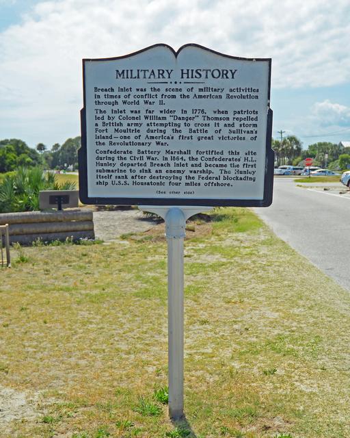
Military History
Breach Inlet was the scene of military activities in times of conflict from the American Revolution through World War II.
The inlet was far wider in 1776, when patriots led by Colonel William “Danger” Thomson repelled a British army attempting to cross it and storm Fort Moultrie during the Battle of Sullivan’s Island-one of America’s first great victories of the Revolutionary War.
Confederate Battery Marshall fortified this site during the Civil War. In 1864, the Confederates’ H.L. Hunley departed Breach Inlet and became the first submarine to sink an enemy warship. The Hunley itself sank after destroying the Federal blockading ship U.S.S. Housatonic four miles offshore.
Site Photos